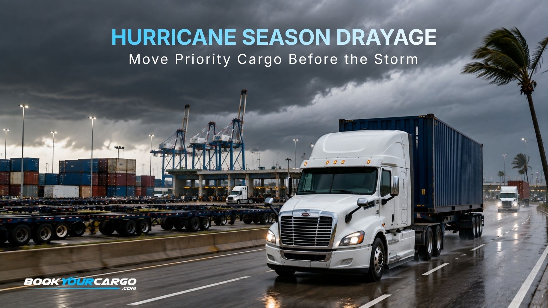
The 2026 Atlantic hurricane season runs June 1 through November 30, and NOAA is forecasting a below-normal year: a 55 percent chance of below-normal activity, with 8 to 14 named storms, 3 to 6 hurricanes, and 1 to 3 major hurricanes, against an average season of 14 named storms and 7 hurricanes. NOAA maintained that below-normal prediction in its August update. For a Gulf or Southeast importer, that forecast is easy to misread, and misreading it is expensive.
The seasonal outlook describes basin-wide activity. It is explicitly not a landfall forecast, and it says nothing about whether a storm will close the specific terminal your containers are sitting in. NOAA’s own framing is blunt on the point: it only takes one, and Category 5 storms have made landfall during below-average seasons. The 2026 season has already demonstrated the pattern. Both named storms so far formed in the Gulf: Arthur, which developed off the Texas coast in mid-June and brought record rainfall to parts of Louisiana while spawning tornadoes along the Gulf coast, and Bertha, which formed south of the Florida panhandle and made landfall in St. Bernard Parish, Louisiana. Neither was a hurricane. Both disrupted freight.
This guide is published in August because the Atlantic season peaks in September, which makes the coming weeks the highest-risk window of the year for Gulf and Southeast cargo. It covers how a terminal actually shuts down and reopens, what happens to free time and demurrage during a closure, the inland and rail effects that outlast the storm, and the contingency decisions that have to be made before a named storm is in the forecast cone.
The Atlantic hurricane season runs June 1 through November 30, peaking in September, and it directly affects container drayage at Gulf and Southeast ports including Houston, New Orleans, Mobile, Savannah, Charleston, Jacksonville, and the South Florida gateways. NOAA forecast a below-normal 2026 season, with a 55 percent chance of below-normal activity and 8 to 14 named storms, and maintained that outlook in August, but a seasonal outlook is not a landfall forecast and below-normal seasons still produce landfalling storms. As of NOAA’s August update the season had produced two named storms, Arthur and Bertha, both of which formed in the Gulf and affected Louisiana. For drayage, a tropical system produces a predictable sequence: terminals restrict then suspend gate operations, vessels sail or divert, containers are secured, and after the storm the terminal reopens gradually while a backlog clears. The disciplines that protect cargo are pulling high-value and temperature-sensitive containers early, documenting closure periods to pursue extended free time or demurrage relief, holding inland staging capacity, and maintaining drayage coverage at alternate gateways. BookYourCargo is a national drayage company that executes contingency drayage across Gulf, Southeast, and alternate U.S. gateways.
What this guide helps you control
- The pre-landfall window, when containers can still be pulled and the decision to move is still yours.
- Free time and demurrage exposure while terminals are closed for a storm.
- Post-storm terminal backlogs, which last considerably longer than the weather.
- Inland and rail effects, including flooding and corridor closures well away from the coast.
- Alternate gateway routing when a Gulf or Southeast port is out of service.
1. Why a below-normal forecast is not a reason to relax
Seasonal outlooks describe how much activity a basin is likely to produce. They do not predict where storms will go, and NOAA states plainly that its outlook is a general guide to overall activity rather than a landfall forecast for any particular location. Three facts should shape how a Gulf or Southeast shipper reads the 2026 forecast:
- Basin activity and local risk are different questions. A below-normal season can still produce a landfalling major hurricane, and NOAA has noted that Category 5 storms have made landfall during below-average seasons. The relevant risk for a shipper is not how many storms form; it is whether one closes the terminal holding their freight.
- Tropical storms disrupt freight without becoming hurricanes. Both 2026 named storms to date stayed below hurricane strength and still mattered. Arthur brought record rainfall to portions of Louisiana and spawned tornadoes along the Gulf coast, and NOAA has emphasized that inland rainfall is a major cause of tropical system damage, which Arthur demonstrated.
- September is the peak. Activity concentrates in the late-August through October window, which means the highest-probability weeks of the season are immediately ahead rather than behind.
The practical translation is that contingency planning should be triggered by the calendar, not by the forecast. A plan built in August works during a September storm. A plan built when a system enters the forecast cone is already competing with every other shipper building one at the same time.
2. How a port actually shuts down and comes back
Tropical disruption follows a recognizable sequence at U.S. Gulf and Southeast ports, and knowing the sequence is what allows a shipper to act during the part of it where action is still possible.
Before landfall: the window that matters
As a system approaches, port authorities and the U.S. Coast Guard progressively restrict operations, vessel movements are limited and then suspended, ships sail out or divert, and terminals begin securing equipment: cranes are stowed and pinned, container stacks are lowered, and yard operations wind down before gates close. This period, typically measured in days rather than hours, is the only part of the sequence in which an importer still controls the outcome. Containers that are pulled during it are out. Containers that are not are committed to sitting through the storm and the recovery behind it.
After landfall: reopening is not recovery
A terminal reopening is the beginning of the backlog, not the end of the disruption. Damage assessment, power restoration, channel surveys for navigation obstructions, and crane inspection all precede full productivity, and the containers that could not move during the closure are now competing for appointments alongside normal daily volume. Labor availability is an additional constraint that is frequently underestimated: terminal and trucking workforces live in the affected area, and their own recovery governs how quickly operations resume.
3. Free time, demurrage, and what to document
When a terminal is closed for a storm, containers accrue time through a period in which no one could have moved them. Whether that time is charged depends on the terminal, the ocean carrier, the contract terms, and the applicable regulatory framework, so relief is never automatic, but it is frequently available and it is very often left unclaimed.
What is entirely within a shipper’s control is the record. Contemporaneous documentation of when gates suspended, when they reopened, which containers were affected, and what the terminal or carrier advised at the time is what converts a plausible claim into a supportable one. Programs that document during the event recover materially more than programs that reconstruct the timeline from memory when the invoice arrives weeks later. This is the same preventive discipline covered in No-Surprises Drayage, applied to an event nobody controls.
The second exposure is per diem on equipment. A container pulled before the storm and delivered to a consignee who then cannot receive, because the facility has no power or its staff cannot travel, sits loaded on a chassis accruing charges. Holding yard and transload capacity as part of the contingency plan converts that exposure into controlled dwell and frees equipment to keep cycling.
4. The inland and rail effects that outlast the storm
Tropical disruption is not confined to the waterfront, and for a national program the inland effects frequently cost more than the terminal closure.
- Inland flooding. NOAA has emphasized that inland rainfall is a major cause of tropical system damage, and 2026 has already illustrated it with record rainfall in portions of Louisiana from a tropical storm. Flooded corridors close highways well away from the coast and can strand freight that never went near a port.
- Rail network effects. Storm damage and flooding disrupt rail corridors and intermodal terminals, and congestion at an affected ramp propagates through the network. For inland-bound containers this means the rail leg can be the constraint even when the marine terminal has reopened.
- Warehouse and distribution center outages. Consignee facilities lose power and staff for days. A delivery appointment that existed before the storm may not exist after it, which is why post-storm delivery plans have to be reconfirmed rather than assumed.
- Regional trucking capacity. Carrier capacity concentrates where recovery freight is moving and where rates are strongest, tightening availability for ordinary containerized freight in the affected region and raising the value of pre-arranged capacity, which is the cyclical pattern covered in the next port cycle analysis.
5. Alternate gateway routing and when it is worth it
The strongest structural defense against a regional weather event is not being dependent on the region. For cargo still at sea when a system develops, rerouting to an unaffected gateway is sometimes possible, and for programs with flexibility it is worth evaluating rather than dismissing.
- Gulf alternatives. Houston, New Orleans, and Mobile are all Gulf gateways and can be affected by the same system, so a Gulf-to-Gulf reroute may offer limited protection depending on the storm track.
- Southeast and East Coast alternatives. Savannah, Charleston, Jacksonville, and the South Florida gateways face Atlantic risk, while gateways further north, including the Port of Virginia and the Port of New York and New Jersey, are generally outside the highest-probability tropical window and can serve as fallback options for cargo bound inland.
- The inland cost of rerouting. A reroute solves the ocean problem and creates an inland one, because the cargo now lands farther from its destination. The decision is a landed-cost comparison between the reroute and the expected delay, not a reflex.
The prerequisite is coverage. A reroute is only executable if drayage capacity exists at the alternate gateway, which is the practical argument for a national drayage network rather than a regional carrier when hurricane exposure is part of the risk profile.
6. Hurricane contingency checklist
A practical scoreboard for importers and exporters with Gulf or Southeast exposure. The left column is what goes wrong; the right column is the action, and most of the actions belong before a storm is named.
| Risk | What it costs if unmanaged | Action |
|---|---|---|
| No priority list when the cone appears | Critical cargo left on terminal through the closure | Rank containers by value, temperature sensitivity, and free time status before the season |
| Pre-landfall window missed | Freight committed to the full recovery cycle | Pull priority containers as soon as restrictions are announced, not when gates close |
| Closure period undocumented | Demurrage accepted for a period nobody could move cargo | Record suspension and reopening times and affected containers as the event happens |
| Consignee cannot receive after landfall | Loaded containers on chassis accruing per diem | Hold yard and transload capacity to convert street dwell into controlled dwell |
| Single-gateway dependence | No route around a closed regional port | Maintain drayage coverage at alternate gateways before the season starts |
| Inland corridor or ramp flooding | Freight stranded far from the coast | Plan inland routing and rail contingency, not just terminal contingency |
| Reopening treated as recovery | Program sits at the back of the appointment queue | Pre-arrange recovery capacity so you move early in the backlog |
7. How BookYourCargo executes hurricane contingency
BookYourCargo is a national drayage company with vetted carrier capacity at every major U.S. and Canadian port and rail ramp, which is the structural advantage during a regional event: a closed Gulf or Southeast gateway does not close the program.
- Priority-driven pre-landfall execution. Containers ranked and pulled by cargo value, temperature sensitivity, and free time status during the restriction window rather than in arrival order.
- Alternate gateway coverage. Vetted capacity at Gulf, Southeast, and northern East Coast gateways so a reroute is executable rather than theoretical, with inland delivery coordinated from wherever the cargo lands.
- Closure documentation and relief support. Suspension and reopening periods recorded with affected containers identified, so extended free time or demurrage relief can be pursued while the event is current, supported by live visibility throughout.
- Staging and cold chain protection. Yard, transload, and warehousing capacity for consignees who cannot receive after landfall, with reefer-capable equipment and gen-set verification prioritized for temperature-sensitive freight.
- Recovery capacity and inland coordination. Capacity arranged ahead of the backlog so the program moves early when gates reopen, across port drayage and rail drayage for inland-bound containers.
This runs on BYC’s national drayage network, execution sits on the BYC drayage technology platform, and first-party Gulf and Southeast rate context lives in the monthly BYC Drayage Index, published going back to 2022. Inc. 5000-recognized, BBB A+ rated, IANA Member, NCBFAA Member, and WOSB-certified through the U.S. Small Business Administration.
Frequently asked questions about hurricane season and drayage
Have the plan before the cone appears
A below-normal season forecast changes the odds, not the consequences, and the peak weeks are directly ahead. The shippers who come through a September storm in good shape are the ones who ranked their cargo, arranged alternate coverage, and knew what to document before a system had a name. If you move freight through Gulf or Southeast gateways and want to talk to BYC about how your contingency plan would execute, request a quote.
